An ArcGIS software license cost about 1400$ per year per
computer. Despite of its high cost, it is the most used software for mapping
and geo-data analysis. In developing countries, this is an unbearable cost and
most GIS specialists work with pirated software. It is a matter of time until
ESRI (the company that distributes the ArcGIS software) will start suing
organization lacking legal in licenses even in developing countries (something that
already happens in the developed world).
Open source software offer a free alternative to the ESRI
products (http://catherinepfeifer.blogspot.ch/2011/08/desperate-need-for-more-geographical.html). Open source software is
software which code is freely available and therefore any modification of the
code has to be shared freely. User and developer communities work together in
developing the software thanks to forums, wiki and meetings. In short, it is
nonprofit software.
Last week I joint the Geostat 2012 in Muenster, Germany (http://www.geostat-course.org/Muenster_2012). It is the European summer school (All classes have
been recorded and can be streamed on the geostat website) followed by the
meeting of the developers for open source GIS. It was for me the occasion to
familiarize myself with the latest development in open source GIS (not yet
released code), in spatial analysis, but also to
familiarize myself with the existing open source GIS software (the stable
version) and make up my mind about their usefulness in a developing world
context, where users often have only very little GIS background.
 |
| participants testing out some R code |
During the week I discovered how to use R (the open source
version of Matlab, a statistical program) as GIS, Grass and Saga (both open
source GIS). R is a relatively low level programing language, which needs initial
investment to learn the coding language. Its spatial base package (SP developed
by trainers of the summer school) and a whole other range of spatial package
offer an amazing range of option to analyses spatial data. Visualization of
data is feasible but reminds far behind the easy and good looking options given
by ESRI. Also after one afternoon of programing with some R freaks, we did not
manage to read and overlay two of my own maps L
(mainly because projections and extend have to match). The most recent code
development allow to link R with google earth for visualization, including the
spatio-temporal visualizations. Other code recently developed or in development
allow for spatio-temporal data analysis and data dissagragation (downscaling).
Grass is an open source software that has been initially
developed for linux, but it is made compatible to all other operating systems
and even got a relatively nice graphical user interface (GUI). It stays that
the most efficient way to work with this software is to use the command window
like with R. Unfortunately the nice options, such as easy copy paste, the
automatic protocoling of work done, and the function history which allows to
recall all the commands ever applied on a dataset are features that only work
in the linux version, leaving the Microsoft user in a much less efficient
environment. Also the graphical representation of data, the ease to change
legends, colors and titles is relatively clumsy. Nonetheless, Grass comes with
a set of amazing feature that the ArcGIS software will only offers years from
now and probably at high costs. Among others Grass includes a new algorithm to
compute water flow and therefore delineate basin without using the tradition
“fill sink” opens, amazing 3D visualizations (available on Arc for an
additional 3800 $ license), an up-coming spatio-temporal analysis tool (I have
never worked this this type of data, I don’t really know what Arc offers, but I
guess the base license will never allow manage spatio-temporal data so
efficiently), terrain analysis tool and for the upcoming Grass 7 (to be
released probably in about a year) will come with a tool that allows to compare
two maps by swiping over it (an amazing visualization tool that will allow to
show stakeholders in an easy way different spatial alternatives.)
 |
| The GRASS 6.3 GUI |
Similarly SAGA GIS offers a whole range of tools, 3D visualizations
and terrain(working with point clouds) that are incomparable to what Arc
offers. Saga runs directly without installation from any external storage
devise. The GUI is smartly organized and once the logics of it is well
understood, allows to perform manipulations efficiently. But here again the
layout options are very limited and it is difficult to come up with maps that
looks as good as those easily produced in ArcGIS.
Both Grass and Saga can be linked to R, allowing to combine
the statistical power of R with GIS tools and algorithm developed by the open
source GIS software.
 |
| A SAGA 3D visualization of Innsbruck |
In the developing world, the first objective is to train people
to make simple geo-data analysis, to represent graphically geodata without
great theoretical background. The open source options I have discovered last
week require users that understand geographical data very well (no projections
on the fly like in Arc), the layout options for producing good looking maps are
limited, and often the GUIs are not as user friendly that the one from ArcGIS. None
of the program I have seen really convinced me as an alternative of Arc GIS for
stakeholders in the developing world. Other open source software exist that
might mimic the Arc GIS option in terms of visualization, such as MapWindow or
Qgis. It might be worth to look into these options.
The open source options nonetheless have convinced me as a
scientist. Today, I combine stata, excel and ArcGIS, copy manually values, run
simulation almost manually. If I make a mistake somewhere, it takes days to
rerun. In principle all could be programmed with one R code that calls for data
and routines with it owns suite of packages but also those from the open source
software. It would decrease source of errors and allow to rerun code quickly in
case of mistake. Also open source comes with a community of developer that
support user and love to take up the challenges brought up by users. Therefore,
features and tools might be up-coming faster than with ESRI.
 |
| Tom and Gerard, two lecturers (and organizers) from Wageningen University |
Definitely, there is no such a thing as a free lunch. Open
source GIS comes with amazing computational options and GIS analysis for free,
with an amazing community of support full of very nice people. But it comes
with relatively high cost. It is a relatively steep learning curve for reaching
a decent level of programming language. It needs a lot of patience to adjust
the settings of one’s computer to make the software run, especially for
Microsoft users who need to learn how to trick their system, and accept that
some fancy stuff is simply not possible, because one cannot change the
Microsoft code. It is definitely not what a stakeholder who wants to produce
some simple map in the developing world is looking for. I guess one needs to
hide a little nerd in one’s heart to take up the open source challenge …
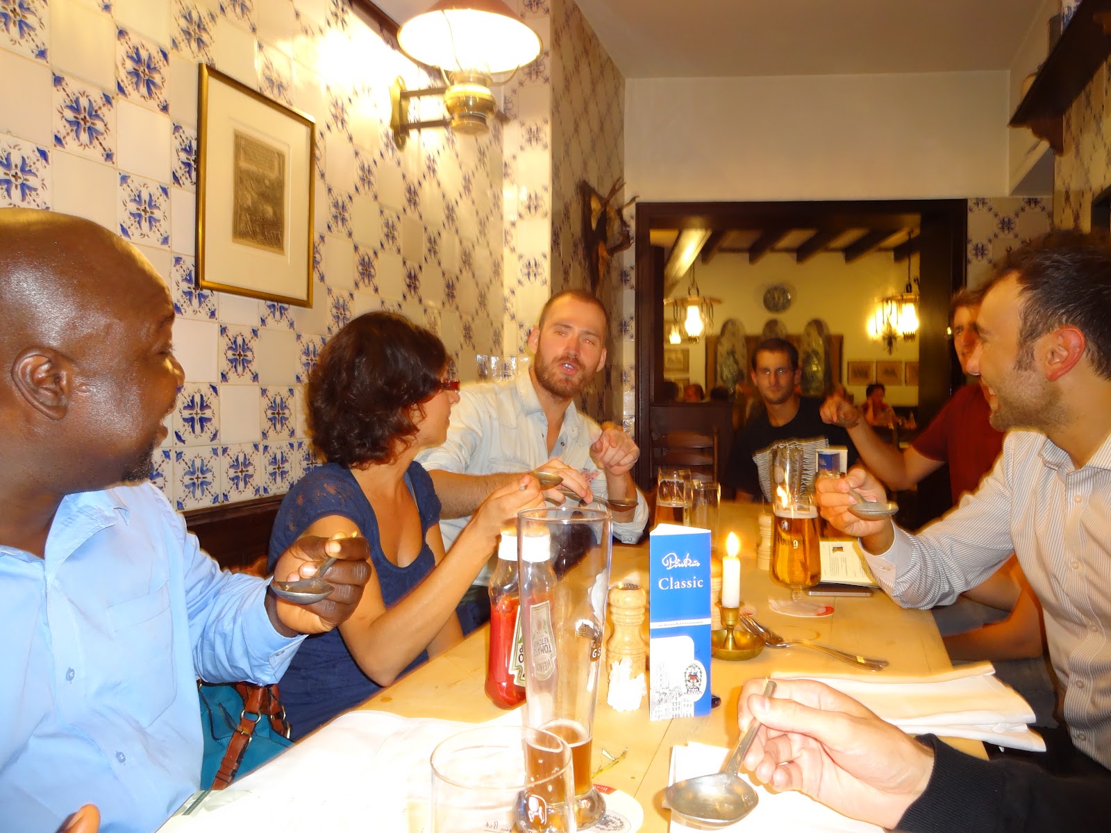 |
| one of the social evenings with beers and sausages |
Finally, I had a very good week. Not only did I learn about
recent developments in open source GIS, but also that computer programmer are
not autistic nerds with no social life. On the contrary, I met amazingly
interesting, sociable and funny people. I would like to thank the organizer for
the very smooth organization, for the trainers for sharing their passion and
all the participants for the support and patience when my R was again sending
an error message and for all the nice social evenings…
No comments:
Post a Comment